


The Trail
Mt Madarao – Akaike Pond
| Distance | 8.5km |
|---|---|
| Highest elevation | 1,382m |
| Lowest elevation | 910m |
| Difference in elevation | 471m |
Akaike Pond – Wakui
| Distance | 10.7km |
|---|---|
| Highest elevation | 1,022m |
| Lowest elevation | 563m |
| Difference in elevation | 459m |
Wakui – Hotokegamine
| Distance | 12.7km |
|---|---|
| Highest elevation | 938m |
| Lowest elevation | 563m |
| Difference in elevation | 375m |
Hotokegamine – Sekida Gap
| Distance | 8.2km |
|---|---|
| Highest elevation | 1,288m |
| Lowest elevation | 830m |
| Difference in elevation | 458m |
Sekida Gap – Busuno Gap
| Distance | 12.4km |
|---|---|
| Highest elevation | 1,140m |
| Lowest elevation | 970m |
| Difference in elevation | 170m |
Busuno Gap – Mt Amamizu
| Distance | 12.8km Highest Elevation: 1,151m Lowest Elevation: 1,015m Difference in elevation: 136m |
|---|---|
| Highest elevation | 1,151m |
| Lowest elevation | 1,015m |
| Difference in elevation | 136m |
Mission
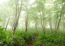
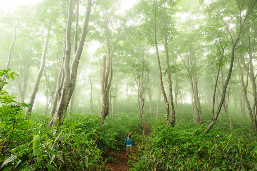
The Shin-etsu Trail Club, formed on January 16th, 2004, is a nonprofit organization accredited by Nagano Prefecture. Our mission is to manage and maintain the 80km trail that stretches over the Sekida Mountains, as well as introduce its beauty to a wider audience. Additionally, we try to educate people on the importance of the trail’s natural surroundings, most notably the magnificent Japanese beech-tree forests, along with local history and culture.
Note
The trail’s accessibility depends on snowfall conditions. Generally, Sections 1&2 are open from the end of May and Sections 5&6 from the middle of June.
.jpg "★コース概要(区間毎)")